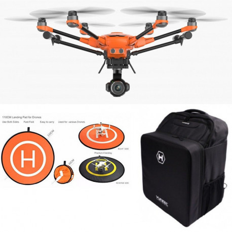
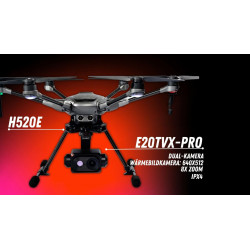
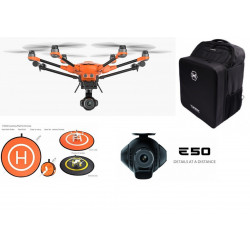
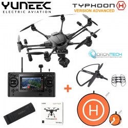
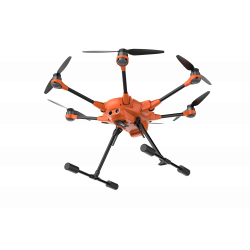
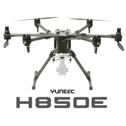
The H520 is a hexacopter that has been developed for commercial use. The sUAS is the perfect solution for long flight times and a proven and robust technology in an all-in-one package. The H520 is built for inspection, law enforcement, security, construction, surveying, and mapping applications in addition to offering cinematic imaging payload systems.
Built for industrial use and ambitious professionals
The H520 is designed with the inspection industry in mind with six-rotor systems that allow for stable, precise flight, long focal-length lenses that allow the sUAS to fly at greater distance from an object and data storage that may be shared instantly from the ST16S Ground Station or delivered directly in 4K/2K/HD video or 20Mp still images.
Reliable, stable and precise
Even in high-wind environments, the Yuneec H520 sUAS system is able to hold position, allowing the solution to fly even when a manned inspection would be deemed unsafe. Exclusive flight speed control offers slowest speed above stall flight for maximum precision in challenging environments.
Hot-swap payload options
All of our E-Series cameras and the CGOET are hot swap-capable on our sUAS platforms, allowing for significant time-savings through not requiring a power-down/restart of the UAS system. This also allows for consistency of data-storage, rather than using multiple storage devices and locations. Whether it’s thermal imaging, long focal length, or wide focal-length data capture, memory cards may be swapped from device to device.
ST16S all-in-one controller
The ST16S Ground Station is an all-inclusive transmitter and receiver that gives you full control over the H520 during flight, allowing users to capture photos and video with great ease. With a large 7-inch integrated screen, the Android-based ST16S controller displays real-time footage of your flight, eliminating the need for an external device. You can also use the ST16S as a mission planner. Plan your flight using the touch screen, and execute your mission with just a single press of a button.
Thermal imaging solution
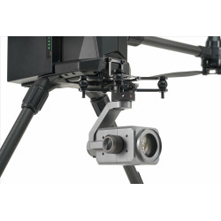
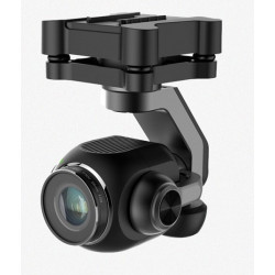
The CGOET is an innovative combination of a thermal imaging and a low light camera with a 3-axis gimbal, capable of a continuous 360° rotation. With the thermal imaging camera, the temperature in the image selectively measures and indicates relative temperature differences. The residual light IR lens has 20x higher sensitivity than the human eye and captures excellent images, particularly in low light conditions
Dual-image gimbal-integrated camera system
- Temperature measurement and display
- Various color spectra allow an accurate visualization of heat sources
- Adjustable temperature detection scale to focus on relevant areas
- Gimbal mounted IR for smooth detection display
- Large IR sensor detects greater detail in the dark than the human eye and is ideal for surveillance
- Dual HD and infrared simultaneous recording
- Thermal and available light recorded simultaneously, so video is frame-accurate in playback with embedded timecode
- Compatible with H520
Improvements
Compared to the CGOET for the Typhoon H, the CGOET for H520 includes the following new features:
- Improved thermal image output
- Crossfade of overlay infinitely adjustable
- Preset temperature ranges for various application areas: solar, gases, search and rescue, and a lot more
- Additional color palettes
360° rotation
The CGOET gimbal is capable of continuous 360° yaw axis rotation. This unique feature, when combined with the H520 retractable landing gear, provides the operator with continuous 360 unobstructed camera view and the ability to continuously pan the camera without yawing the airframe
Dual lens
The 1080p low light camera alongside the thermal imaging camera combine to overlay IR and RGB for a clean, precise image. Capture infrared and video images with identical positioning via a single flight plan. Focus on relevant image areas via the CGOET adjustable temperature detection scale. Various color spectra allow for an accurate visualization of heat sources.
Your benefits at a glance
- Designed for professional, commercial and governmental requirements
- 6 rotors for high safety and redundancy as well as high stability and precision even while experiencing wind and turbulence
- Take-off weight with all available camera systems (E90/E50/CGOET) below 2 kg
- Reliable position determination by evaluating GPS, Glonass and Galileo satellites
- High-precision, low-interference compass
- Good visibility due to bright orange paint
- Video downlink encryption according to the WPA2 standard with a dynamic password
- No data transfer to an external server
- Software is based on solid PX4 code
- Intelligent sonar collision avoidance for safe and stress-free flying
- Energy efficient and quiet with a flight time of up to 28 minutes with E50 / 25 minutes with CGOET/E90
- Numerous, also individual, service and maintenance packages available
- ST16S with an integrated 7” touch display, voice output and multilingual comprehensive DataPilot™ software
- HDMI signal directly from the ST16S to output the drone’s live image onto larger monitors
- Mission planning on the computer or on the ST16S, offline maps available, creation of own maps possible
- Waypoint and survey missions, including cross-wise flights, suitable for construction surveying, perimeter security, accident reconstruction, 3D scans, orthomaps, area inspections and S&R tasks
- 2D/3D mapping
- DataPilot™ automatically generates the flight route when an area to be scanned is specified, including a possible battery change.
- Definition of resolution over inches per pixel or altitude
- Missions can be saved for any repetition of the same flight route (e.g., for tracking shots)
- SDK available: third-party software and adaptation to your own application are possible.
- Capable of being tethered (sold separately)
- Lower space requirement and short set-up time
- Retractable landing gear and 360 degree endlessly rotatable camera gimbal for precise alignment or a permanent all-round view, even during tethering
- Hot-swappable camera/gimbal systems

